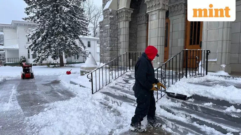
A significant winter storm, known as a Nor'easter, is poised to unleash heavy snowfall and dangerous icy conditions across the Northeastern United States starting Monday night and continuing into Tuesday, according to forecasters cited in a New York Times report.
Widespread Snowfall and Icy Mix Expected
The storm system is forecast to deliver substantial snowfall, with more than a foot of snow anticipated in higher elevation areas and regions like New York and the Poconos. The National Weather Service predicts at least six inches of snow by Tuesday night across parts of several states, including Maine, Massachusetts, New Hampshire, New Jersey, New York, and Vermont.
The heaviest snow is likely for the Poconos through Downeast Maine, which could see accumulations of five to 10 inches. The weather system is expected to develop over the Gulf Coast before moving up the Eastern Seaboard and impacting the Northeast later on Monday.
Hazardous Travel Conditions and Ice Alerts
Beyond heavy snow, the Nor'easter threatens to create treacherous travel. A mix of ice and snow is likely from northeastern Oklahoma east through the Ohio Valley. Freezing rain is expected in Oklahoma and Arkansas, leading to dangerous icing on roads.
The central and southern Appalachians face the greatest risk of icing, with forecasts indicating a potential for a quarter-inch of ice in areas stretching from southwestern North Carolina through western Virginia and into western Maryland. These conditions will create significant hazards for commuters and travelers.
What is a Nor'easter?
As explained by the New York Times, a Nor'easter is a potent weather system where winds off the East Coast clash with surface winds from the Northeast and Mid-Atlantic States. These storms gain strength when cool Arctic air moves south and passes over the warmer waters of the Gulf Coast.
This collision of warm and cool air generates a low-pressure system characterised by extensive cloud cover and stormy conditions, leading to the heavy precipitation and strong winds typical of such events. By early Monday morning, rain and light snow had already begun in parts of New England and New York, with New York City expected to receive mainly rain and little to no snow accumulation.


