Sharp Temperature Drop Follows Brief Warm Spell in North India
After a day of significant warming, the states of Punjab and Haryana experienced a dramatic reversal in weather conditions. Minimum temperatures, which had risen by over 6°C, plummeted by more than 7°C within a short span. This abrupt change resulted in temperature variations exceeding 10°C in several locations across both states, highlighting the volatile nature of the current winter season.
Record Low Temperatures and Rainfall Extremes
Bathinda emerged as the coldest location in the plains of India, recording a minimum temperature of 0.8°C. This reading represented a departure from the normal by 4.8°C. Faridkot followed closely with 1°C, while Hisar in Haryana recorded a minimum of 1.6°C, deviating from normal by 5.4°C. The rapid cooling was accompanied by intense precipitation events.
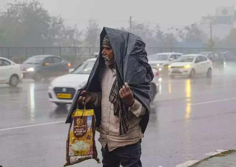
On Friday, the region was battered by rain, thunderstorms, and hailstorms, leading to extraordinary rainfall figures. In the 24 hours ending at 8:30 AM on January 24, Punjab recorded 973% excess rainfall, receiving 11.8 mm against a normal of 1.1 mm. Haryana saw an even higher excess of 1014%, with 8.9 mm against 0.8 mm. Himachal Pradesh experienced a staggering 1622% excess, receiving 44.8 mm compared to the normal 2.6 mm.

IMD Forecasts Dense Fog and Cold Wave Conditions
The India Meteorological Department has issued warnings for dense fog conditions during morning and night hours in isolated pockets over Punjab, Haryana, Chandigarh, and Himachal Pradesh from January 24 to 26. Additionally, cold wave conditions are likely in isolated areas over Himachal Pradesh on January 25 and 26, potentially extending to Punjab, Haryana, and Chandigarh.
A fresh wet spell is anticipated over Himachal Pradesh on January 27 and 28, featuring scattered to fairly widespread rainfall and snowfall. This system may bring lightning and gusty winds reaching 40-50 kmph, with gusts up to 60 kmph. Isolated heavy rainfall or snowfall is likely on January 27, with similar conditions expected in the adjoining plains of northwest India, including possible hailstorm activity in Himachal Pradesh.
Detailed Temperature Analysis and Rainfall Accumulation
From January 1 to the morning of January 24, Punjab recorded 103% excess rainfall, receiving 27.2 mm against a normal of 13.4 mm. Haryana saw a 50% excess with 15.2 mm against 10.1 mm, while Himachal Pradesh experienced a 7% deficiency, receiving 55.6 mm compared to the normal 59.9 mm.
In Punjab, the average minimum temperature fell by 7.9°C from Friday to Saturday morning, recording 2.7°C below normal. Key temperature readings included:
- Bathinda: 0.8°C, with a 10.2°C change in 24 hours and a 4.8°C departure from normal.
- Faridkot: 1°C
- Ferozepur: 1.6°C
In Haryana, the average minimum temperature dropped by 7.2°C, recording 2.3°C below normal. Notable temperatures were:
- Hisar: 1.6°C
- Sonepat: 2.1°C
- Sirsa: 2.7°C
These developments underscore the challenging weather patterns affecting northern India, with residents advised to stay updated on IMD forecasts and take necessary precautions.