A seismic event rattled the waters of eastern Indonesia on Sunday, as a moderate earthquake was recorded in the Molucca Sea region. The tremor, measuring a magnitude of 4.4 on the Richter scale, serves as a reminder of the archipelago nation's position on the volatile Pacific Ring of Fire.
Details of the Seismic Event
The earthquake's epicentre was precisely located in the Molucca Sea, according to data from the German Research Centre for Geosciences (GFZ). The seismic activity originated at a significant depth of 10 kilometres below the Earth's surface. The event was recorded on Sunday, April 6, 2025, adding to the region's long history of geological unrest.
Initial reports from monitoring agencies confirmed the quake's specifics. The GFZ, a leading authority in geophysical research, provided the coordinates and magnitude assessment. Notably, the tremor's moderate strength and offshore location meant that no tsunami warning was issued by regional or international alert systems. This crucial detail brought immediate relief to coastal communities and authorities.

Indonesia's Seismic Landscape
This recent quake underscores Indonesia's constant vulnerability to seismic shocks. The nation sits astride multiple tectonic plates, making it one of the most seismically active areas on the planet. The Molucca Sea itself is a complex zone of convergence, where several small crustal plates interact, frequently generating earthquakes.
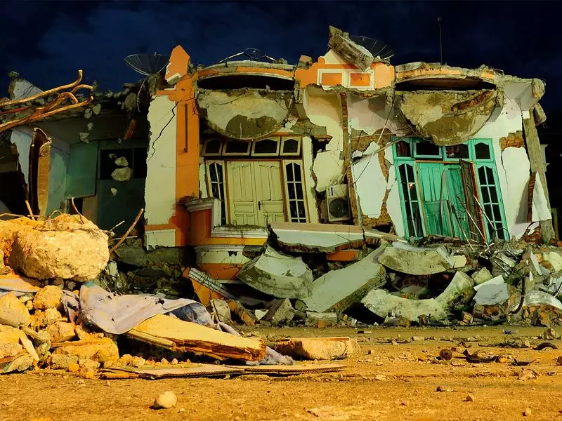
While this 4.4 magnitude event is considered moderate and caused no immediate reports of damage or casualties, it is part of a continuous pattern. Indonesia frequently experiences earthquakes of varying intensities. The memory of much more powerful and destructive quakes and tsunamis in recent years remains fresh, prompting constant vigilance from both disaster management agencies and the public.
Response and Regional Context
The absence of a tsunami warning following this particular quake is a key outcome. Tsunami warnings are typically triggered by shallow, high-magnitude quakes with vertical displacement of the seabed. The depth and magnitude of this event did not meet those dangerous criteria.
Local and national disaster mitigation agencies, such as Indonesia's BMKG, routinely monitor such activity. Their networks of sensors provide real-time data that is essential for rapid assessment and public communication. For residents in earthquake-prone regions, even moderate tremors reinforce the importance of preparedness, including knowledge of evacuation routes and having emergency supplies readily available.
Events like this also highlight the critical role of international scientific cooperation. Data shared by global bodies like GFZ helps create a comprehensive understanding of seismic hazards, benefiting early warning systems and scientific research worldwide. As tectonic forces continue to shape the region, monitoring remains a 24/7 endeavour for geologists and disaster response teams across Indonesia and the Asia-Pacific.