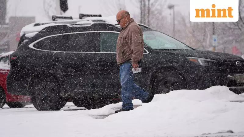
A powerful and active winter weather pattern is set to continue its grip over large parts of the United States over the next 48 hours, bringing a dangerous mix of Arctic cold, disruptive snow squalls, and significant mountain snowfall. The National Weather Service (NWS) Weather Prediction Center has issued detailed forecasts highlighting multiple hazards from the Great Lakes to the Northeast and down to the Gulf Coast.
Winter Fury: Snow Squalls, Lake-Effect Snow, and Major Mountain Snowfall
The Great Lakes and interior Northeast will remain under the influence of consecutive clipper systems. As one system moves out, another is expected to arrive by Friday, December 6. This will sustain lake-enhanced snow showers, with moderate accumulations forecasted for areas downwind of the Upper Great Lakes and Lake Ontario. Light snow is also anticipated across the northern Plains.
However, the most immediate danger comes from potentially dangerous snow squalls. The NWS warns that a trailing cold front could trigger these sudden, intense bursts of snow in the interior Northeast on Wednesday, December 4, creating rapid white-out conditions and making travel extremely hazardous.
Out West, a series of upper-level disturbances will dump heavy snow on the Cascades and northern Rockies today, spreading into the central Rockies on Friday. Winter Storm Watches are active for accumulations of 8 to 14 inches, with a staggering 2 to 3 feet possible at the highest elevations. Mountain valleys may see 3 to 6 inches.
Arctic Air Invasion Threatens Record Low Temperatures
A fresh surge of brutally cold Arctic air is descending into the Midwest today, with its frigid grip extending into the northern Mid-Atlantic and New England by Friday morning, December 6. This air mass has the potential to challenge or break daily record low temperatures.
Lows are forecast to plunge into the negative single digits and teens across the Midwest. The northern Mid-Atlantic and New England will see lows in the single digits and teens. High temperatures will also remain severely depressed, stuck in the:
- Teens to 20s in the Midwest
- 20s to 30s in New England
- 30s to 40s from the central Plains to the Mid-Atlantic
AccuWeather Experts Warn of Extreme Travel Hazards
AccuWeather meteorologists have amplified warnings, stating that snow squalls sweeping across more than a dozen states from the Great Lakes to the Northeast between Wednesday night and Thursday could be one of the strongest and most widespread events so far this season.
"Major highways and secondary roads can be coated in snow, and visibility can be drastically reduced in a matter of seconds," said AccuWeather Meteorologist Alex Duffus. The sudden freeze-up can turn tire tracks into ice, creating extremely slick conditions. This combination with high-speed traffic raises the risk of multi-vehicle pileups.
Several key interstate highways could be impacted, including I-70, I-76, I-78, I-79, I-80, I-81, I-87, and I-90. Experts advise that if caught in a squall, the safest action is often to exit the highway and wait for it to pass. Duffus also urged people to prepare for dangerous cold, with RealFeel Temperatures plunging into the teens or lower in cities like Chicago, Detroit, Cleveland, and Pittsburgh on Thursday.
Meanwhile, the Gulf Coast is contending with a different threat. Moist southerly winds are producing widespread rain and thunderstorms, with a risk of isolated flash flooding as the system shifts east into the Southeast by Friday. Further north, this system will interact with colder air, leading to wintry precipitation and light ice accumulations from the southern Plains into the Ohio Valley and Appalachians.


