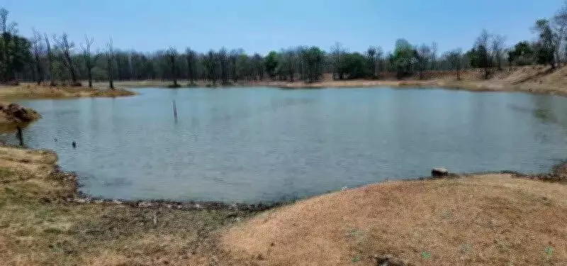
Raipur: As summer tightens its grip and water sources shrink, Barnawapara wildlife sanctuary has rolled out a data-driven water management system to keep wildlife hydrated — mapping over 240 sources and ensuring water availability across every five square km of forest.
At the heart of this effort is a meticulously planned water management system that ensures animals do not have to wander far in search of water. Forest officials have mapped over 240 water points — including ponds, stop dams, waterholes and artificial saucers — with a clear goal: water availability within a radius of five square km of the sanctuary.
But this is more than just refilling waterholes. The system runs on data. Each source is geo-tagged, monitored every 15 days, and measured using staff gauges to track water levels. Based on real-time assessments, sources are categorised and prioritised for intervention — allowing officials to act before a crisis unfolds.

Equally critical is water quality. Regular testing of pH levels and total dissolved solids ensures that the water is safe for wildlife. In areas where natural sources have dried up, tankers are deployed to refill nearly 25–30 critical points identified as high-risk zones. The sanctuary has also added a nutritional layer to its strategy. ‘Salt licks' — mineral-rich deposits — have been strategically placed near water sources, helping animals access essential nutrients alongside hydration, particularly when food quality dips during summer.
Divisional forest officer Balodabazar, Dhammshil Ganveer said the model is built on continuous monitoring and timely response. "This is about managing water for the present, as well as creating a system that anticipates stress and responds before it escalates," he said, calling it a template that could be replicated in other protected areas.