IIT Bhubaneswar Researchers Pioneer Satellite Method for Bauxite Mapping
A research team from the Indian Institute of Technology Bhubaneswar has achieved a significant breakthrough in mineral exploration. Led by assistant professor Ashim Sattar, the team developed an innovative satellite-enabled technique to identify bauxite prospects. They successfully applied this method to map potential deposits across Koraput and Rayagada districts in Odisha.
Advanced Technology and Recognition
The researchers employed advanced hyper-spectral satellite remote sensing to pinpoint likely bauxite deposit zones. Their work combines satellite datasets with thorough field investigations, detailed geochemical and petrographic analysis, and precise laboratory-based spectral measurements. This integrated approach creates a robust first-level framework for mapping prospective bauxite deposits.
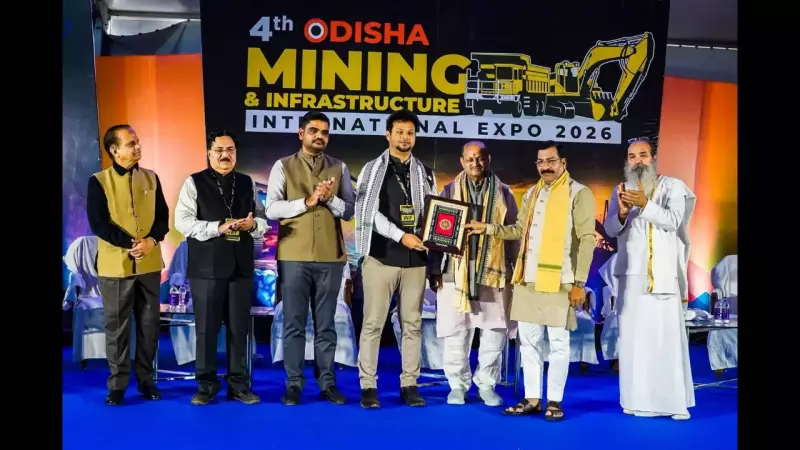
The team's findings were published in the peer-reviewed Journal of Geochemical Exploration. In a notable recognition, the Odisha state government honored Sattar and his team at the Odisha Mining and Infrastructure International Conference held in Bhubaneswar on Monday.

Significance for India's Mineral Security
Bauxite serves as the primary ore for aluminium production, making it vital for multiple sectors including aerospace, construction, and packaging. With the global aluminium market projected by Credit Suisse to face a supply gap by 2030, strengthening domestic raw material security has become increasingly crucial for India.
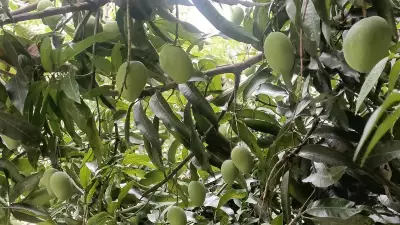
IIT Bhubaneswar highlighted that Odisha holds an estimated 2.3 billion tonnes of bauxite reserves. This represents more than half of India's total resources. A significant portion of these reserves lies within the Eastern Ghats region, where conventional exploration methods often prove slow, costly, and environmentally disruptive.
How the Satellite Method Works
The researchers applied hyper-spectral imaging technology to detect bauxite-bearing indicators across the two districts. This technique relies on spectral signatures, which are distinct electromagnetic response patterns emitted by earth materials. By analyzing these signatures from space, the team can identify potential bauxite zones without extensive ground disturbance.
Professor Sattar emphasized that this satellite-based method offers a faster, more cost-effective, and environmentally responsible option for mineral exploration. It provides a viable alternative to traditional approaches not only in Odisha but potentially in other mineral-rich regions as well.
Broader Implications and Future Applications
According to IIT Bhubaneswar, this study marks the first large-area remote sensing-led assessment of bauxite zones in Odisha. The findings are expected to assist both industry stakeholders and policymakers in several important ways.
- Identifying priority exploration zones more efficiently
- Improving long-term resource planning and allocation
- Reducing environmental impacts associated with mineral exploration
- Enhancing India's domestic mineral security strategy
The research demonstrates how cutting-edge technology can address practical challenges in resource management. By combining satellite data with traditional geological methods, the IIT Bhubaneswar team has opened new possibilities for sustainable mineral exploration in India.