Punjab Embraces Advanced Technology for Precise Forest Demarcation
In a significant move to ensure clearer demarcation of forest land and prevent future disputes, the Punjab forest department has initiated a comprehensive scientific mapping drive. This ambitious project leverages cutting-edge technologies including LiDAR (Light Detection and Ranging) and drone-based aerial surveys to accurately identify and document forest boundaries across the state.
Addressing Historical Challenges in Forest Management
Officials highlight that traditional methods of forest demarcation, which relied heavily on outdated satellite imagery and decades-old 'Shajra' maps, have proven inadequate. The lack of precise ground references has made it difficult to distinguish forest land from adjacent private or agricultural holdings, leading to persistent challenges in land management and legal enforcement.
"Scientifically verified and clearly defined forest boundaries will help minimise overlapping claims between forest land and private holdings, thereby reducing land disputes," stated Principal Chief Conservator of Forests (PCCF) Dharminder Sharma. He emphasized that accurate demarcation is crucial for strengthening on-ground monitoring and enabling more effective legal action against encroachments.

Dual-Pronged Technological Approach
The department has launched two parallel surveys as part of the project titled 'Delineation of Forest Boundary in Punjab using Geospatial Technology (UAV and LiDAR)', executed by the Punjab Remote Sensing Centre in Ludhiana.
- Airborne LiDAR Survey: Covering nearly 3,900 square kilometers of forested terrain in the ecologically sensitive Shivalik hills, this survey uses laser pulses from aircraft to capture detailed terrain information even beneath dense forest canopies. The technology creates dense point cloud datasets, revealing ground features hidden under vegetation with boundary accuracy of approximately 15 centimeters.
- Drone-Based Mapping: Preparations are underway for drone surveys over nearly 1,918 square kilometers of forest areas in the plains. The department is in the process of hiring a specialized firm to capture geo-tagged images across multiple spectral bands, producing extremely high-resolution imagery with a spatial resolution of 10 centimeters or finer.
Comprehensive Data Generation for Multiple Applications
The surveys are designed to generate a wealth of geospatial data, including:
- Orthorectified images and highly accurate ground control points
- Contour maps and digital elevation models
- GIS-compatible datasets for planning, monitoring, and legal purposes
- Shapefiles identifying key land features such as agricultural fields, settlements, roads, water bodies, and transmission lines
All drone operations will comply with regulations from the Directorate General of Civil Aviation and obtain necessary clearances from relevant authorities including the Ministry of Civil Aviation, Ministry of Defence, and district administrations.
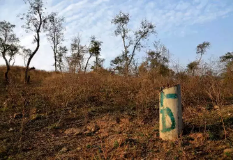
Addressing Punjab's Unique Forest Distribution
Punjab's forests present a unique challenge as they are not concentrated in large continuous tracts but are scattered across districts in small patches, often along rivers, roads, canals, and drains. This fragmentation makes precise mapping particularly important for effective forest management and conservation efforts.
In addition to the aerial surveys, the department is exploring the potential of high-resolution satellite imagery as a complementary approach. With improvements in satellite technology and falling costs, officials are considering acquiring imagery with approximately 50-centimeter spatial resolution for the entire state as a potentially cost-effective supplement to the aerial surveys.
This comprehensive technological initiative represents a significant advancement in forest management practices, promising to transform how Punjab protects and manages its valuable forest resources through precise scientific documentation and monitoring.