The Maharashtra state government has given its crucial approval to a revised development plan for the prestigious Backbay Reclamation Scheme (BBRS) in south Mumbai. This decision paves the way for significant infrastructure upgrades, improved connectivity, and changes in land use across the premium waterfront area stretching from Nariman Point to Colaba.
Key Proposals in the Revised Development Plan
Prepared by the Mumbai Metropolitan Region Development Authority (MMRDA), the revised draft outlines a vision for the Backbay area up to the year 2041. The plan retains all necessary safeguards linked to the Coastal Regulation Zone (CRZ) while introducing several new elements. The total planning area spans a massive 237 hectares, which includes 109.9 hectares of reclaimed land, 123.1 hectares of sea, and over 4 hectares of mangrove cover.
One of the most significant proposals is the construction of an elevated road connecting the National Centre for the Performing Arts (NCPA) to Badhwar Park. This link is designed to drastically improve east-west connectivity between Nariman Point and Colaba. To ease local traffic, the plan also proposes a 15-meter-wide road along the fishermen colony and an 18-meter-wide access road to Ganesh Murti Nagar.

New Amenities and Land-Use Changes
The revised blueprint introduces exciting new amenities for the city. It creates a reservation for a new marina along the waterfront and earmarks land for a helipad in south Mumbai. Authorities cite the need for faster airport connectivity for VIP movements and international visitors as a key reason for the helipad.
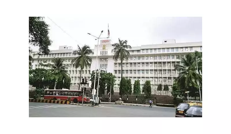
Substantial land-use changes are proposed around the Vidhan Bhavan (state legislature). Plots currently used for parking and gardens will be reserved for a new council hall and ancillary facilities. This shift is attributed to security requirements and increased footfall during assembly sessions. The plan mandates that any future development here must include parking for at least 500 vehicles.
Addressing Slums and CRZ Regulations
The development plan acknowledges the existence of 22.5 hectares of slum areas within the BBRS zone, some of which emerged from additional reclamation after the sanctioned plan of 2000-01. Slum pockets that fall under approved Slum Rehabilitation Authority (SRA) schemes are proposed to be designated as formal residential zones.
A critical part of the plan is its adherence to environmental norms. It notes that over 177 hectares of the area falls under CRZ regulations. The document clarifies that all future development will be strictly governed by the 2019 CRZ norms, ensuring ecological protection for the sensitive coastal zone.
The area is bounded by Madame Cama Road in the north, block VII in the south, the Arabian Sea on the west, and Captain Prakash Pethe Marg and General J Bhosale Marg on the east. Before the plan is finalized, the government will invite suggestions and objections from the public, allowing citizens to have a say in the future of this iconic part of Mumbai.