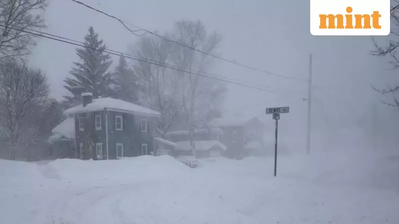
A long-duration and potentially historic winter storm is currently impacting a vast expanse of the United States, unleashing heavy snow, catastrophic ice accumulations, extreme cold temperatures, and damaging winds from the Southern Plains all the way to New England through Monday, according to the National Weather Service (NWS). This severe weather event is expected to cause significant disruptions, power outages, and hazardous travel conditions across multiple states.
What’s Driving the Storm
The storm is being fueled by a surge of arctic high pressure originating from Central Canada, which is pushing bitterly cold air southward across the Plains, Great Lakes, and Northeast regions. Simultaneously, low pressure over the Gulf Coast is feeding moisture northward. A second low-pressure system developing along the Southeast Coast is forecast to track northeast along the Mid-Atlantic, further intensifying the storm's impacts and extending its reach.
State-by-State Impacts and Warnings
Texas
Large portions of Texas are under Ice Storm Warnings, Winter Storm Warnings, and Extreme Cold Warnings. In East and North Texas, including Van Zandt, Henderson, Freestone, Anderson, and Leon counties, ice accumulations of up to three-quarters of an inch are expected, according to the NWS Fort Worth office. Officials have warned of widespread power outages, extensive tree damage, and potentially impossible travel conditions.

Across the Houston–Galveston region, including Houston, Sugar Land, Pasadena, Baytown, and Galveston, mixed precipitation could produce ice accumulations up to a quarter inch, making bridges and overpasses especially dangerous. In South Texas, including Corpus Christi, Kingsville, and Laredo, Cold Weather Advisories, Freeze Warnings, and Extreme Cold Warnings are in effect, with wind chills potentially dropping into the teens, threatening crops, plumbing, and unprotected individuals.
Louisiana
Parts of northern Louisiana could see ice accumulations exceeding half an inch, with locally higher totals possible. Officials have warned of long-lasting power outages and widespread tree damage as a result of the icy conditions.
Mississippi
Central and northern Mississippi face the risk of significant icing, potentially exceeding one inch in some locations. This increases the likelihood of prolonged infrastructure damage and dangerous travel conditions throughout the state.
Tennessee
Southern Tennessee is expected to see freezing rain and sleet, while the Smoky Mountains region is under a High Wind Warning. Wind gusts could reach 60 mph, with locally higher gusts near 80 mph at higher elevations, raising the risk of downed trees and power lines.
Arkansas
The NWS has warned of widespread icing and hazardous travel conditions across parts of Arkansas, particularly in areas south of the heaviest snow band.
Oklahoma
Snow, sleet, and freezing rain are expected across large portions of Oklahoma, followed by dangerously cold temperatures and wind chills, according to the NWS.
Ohio
Heavy snowfall exceeding 12 inches is likely in parts of Ohio, with major travel disruptions expected throughout the state.
Pennsylvania
The NWS forecasts heavy snow across portions of Pennsylvania, leading to hazardous road conditions and likely delays for commuters and travelers.
New York
Upstate New York is expected to receive significant snowfall, with lake-effect snow compounding totals in some areas, according to the NWS.
Michigan
Lake-effect snow is forecast across snowbelt regions of Michigan, creating hazardous travel conditions and reducing visibility on roads.
Maine
A Winter Storm Watch is in effect across large portions of Maine, including Bangor, Orono, Bar Harbor, and Calais. Snow accumulations of 7 to 15 inches are possible from Sunday evening through late Monday night. Along the coast, heavy freezing spray in Penobscot Bay and Casco Bay poses serious risks to mariners.
North Dakota
Western and south-central North Dakota could experience wind chills as low as 40 below zero, with frostbite possible on exposed skin in as little as 10 minutes, according to the NWS Bismarck office.

Residents across these affected regions are urged to stay informed through local weather updates, avoid unnecessary travel, and take necessary precautions to protect themselves and their property from the severe winter conditions.