Winter Storm Fern Unleashes Polar Vortex Fury Across the United States
Winter is staging a dramatic comeback across the United States, bringing with it some of the most extreme and bone-chilling temperatures of the season. This is not merely a passing cold front but a significant meteorological event that is set to transform daily routines into survival challenges for millions of Americans.
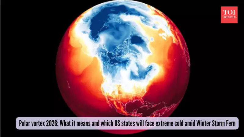
What is the Polar Vortex and How Does It Impact the US?
The polar vortex is essentially a large, swirling pocket of super-cold, low-pressure air that typically resides over the North and South Poles. It intensifies during the winter months, but occasionally, it expands and stretches southward, pushing frigid Arctic air into regions like the United States. Although this phenomenon occurs high in the atmosphere, its effects are profoundly felt on the ground, leading to severe cold snaps and disruptive weather patterns.
Currently, this polar vortex expansion is being driven by Winter Storm Fern, which is channeling extreme cold southward from Canada. According to reports from Sky at Night Magazine, over 150 million people across two dozen states are facing the threat of subzero temperatures, heavy snowfall, and dangerous ice accumulation.

States and Regions Bracing for Impact
From January 23 to 25, the icy air mass is expected to sweep across a wide swath of the country. The northern regions, from North Dakota to Michigan, will bear the brunt of the extreme cold, while areas from Kansas to New York are forecast to experience heavy snow and ice storms.
Particularly vulnerable are southern states such as Louisiana, Mississippi, Alabama, and Georgia, as highlighted by Night Sky Magazine and the BBC. These regions are often less prepared for prolonged freezing conditions, increasing the risks of infrastructure failures and public safety concerns.
AccuWeather warns that some areas could endure nonstop ice, snow, and subzero chills for over 24 hours continuously. Even after the primary storm passes, lingering icy patches may persist, leading to ongoing travel delays, road closures, and potential shutdowns.
Warnings and Preparedness Measures
With up to two feet of snow anticipated in certain locations, transportation facilities are likely to be crippled. Authorities strongly advise checking flight statuses and road blockages in advance to avoid being stranded.
The National Weather Service has issued urgent recommendations for the public to carry emergency kits and wear multiple warm layers. Icy roads are expected to remain hazardous long after the snowfall ceases, with Gulf moisture potentially exacerbating ice risks in affected areas.
This weather event echoes past incidents that paralyzed travel and caused widespread blackouts, underscoring the importance of preparedness. Residents in the impacted states should stay informed through reliable weather updates and take necessary precautions to ensure safety during this extreme cold spell.