US Agencies Confirm El Niño, Warn of Potentially Record Strength
Confirming that the Pacific Ocean has transitioned to El Niño conditions, US government weather agencies have issued a warning that this event could intensify into one of the strongest on record, with significant implications for global weather patterns.
The latest update, released late Thursday by the Climate Prediction Center (CPC) and other agencies under the US National Oceanic and Atmospheric Administration (NOAA), indicates a 63% probability that El Niño will strengthen into a "very strong" event by November-January. Such an event "would rank among the largest El Niño events in the historical record going back to 1950," the agencies noted.
This marks a sharp increase in odds favoring a "very strong" event—often termed a "super El Niño"—compared to the CPC's previous bulletin on May 14, which had placed this probability at just 37%.

As previously reported by TOI on June 5, the European weather agency ECMWF had already indicated last week that El Niño had begun. ECMWF forecasts also project that it is likely to develop into an unprecedentedly strong "super" El Niño by November-December of this year.
What is El Niño?
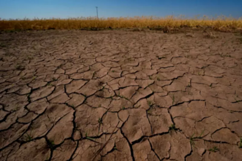
El Niño refers to the abnormal warming of ocean surface waters in the central and eastern equatorial Pacific, which occurs in conjunction with, or precedes, shifts in wind patterns. These changes have a major influence on global weather, including adverse impacts on India's summer monsoon.
A strong El Niño is bad news for India's monsoon, as the phenomenon increases the likelihood of weather disruptions. "Even very strong El Niño events do not lead to the expected impact everywhere, but stronger events can more significantly tilt the odds in favor of expected outcomes," the Climate Prediction Center noted in its update.