The Vanished World of Doggerland: A Prehistoric Land Bridge
What makes history profoundly strange is witnessing something enduring for millennia only to see it vanish abruptly. This exact phenomenon occurred with Doggerland, a vast landmass that once physically connected Britain to continental Europe. Thousands of years ago, this region was not submerged beneath the North Sea but was a thriving, diverse landscape teeming with life.
A Flourishing Ancient Ecosystem
Doggerland was a rich and varied natural environment, encompassing forests, marshes, and rivers. It supported an abundance of wildlife, including mammoths, and was home to human populations for thousands of years. These early inhabitants hunted, gathered, and established settlements in areas that would later become some of the most successful regions in the British Isles. Their presence is a testament to the land's habitability and resource richness.
The Catastrophic Disappearance
This 'lost world' began its final descent into the ocean approximately 8,200 years ago, marking the end of the last Ice Age. The primary driver was the melting of continental ice sheets, which caused global sea levels to rise significantly. This process gradually transformed Doggerland into expansive marshlands as forests were inundated.

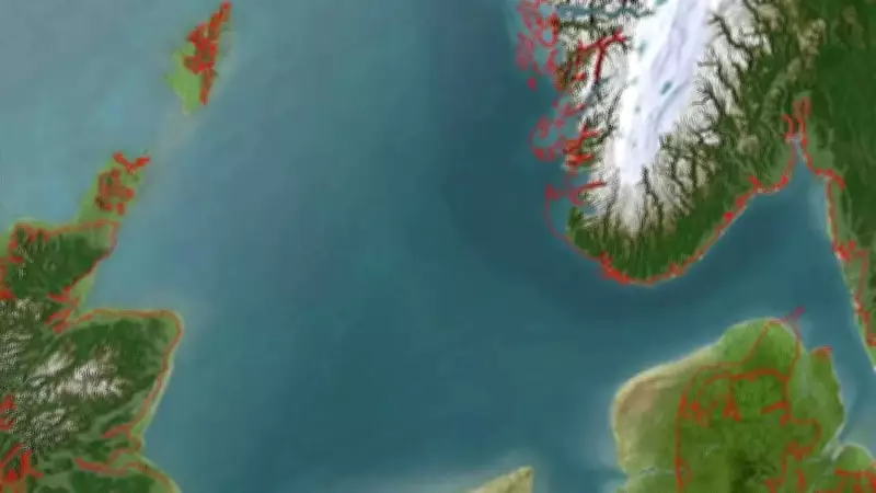
The final blow was delivered by a cataclysmic geological event. A massive submarine landslide, known as the Storegga Slide, occurred near Norway's coast. This triggered an enormous tsunami that swept across the North Sea, flooding the remaining areas of Doggerland. Only a few higher regions remained above water, with the rest lost beneath the waves, where it lies today, 15 to 40 meters below the surface.
Doggerland as a Stark Climate Warning for Our Future
Understanding the demise of Doggerland is not merely an archaeological pursuit; it is a critical lesson for contemporary societies. The event serves as a powerful analogue for the potential impacts of modern anthropogenic climate change on our world's coastlines.
Parallels with Modern Sea Level Rise
As reported by sources like the Smithsonian Magazine, following the Ice Age, sea levels rose at an estimated rate of about 6 feet per century. Today, the Intergovernmental Panel on Climate Change (IPCC) projects that continued global warming could lead to a sea-level rise of several meters by the year 2300. This pattern ominously echoes the processes that drowned Doggerland millennia ago.
The key difference lies in human adaptation. The early Doggerlanders, with low population density and nomadic lifestyles, could relatively easily migrate to higher ground. In stark contrast, today's densely populated coastal cities, supported by vast, fixed infrastructure, face monumental challenges in retreating from advancing shorelines. Scientific studies of submerged peat and sediment layers in the North Sea are now helping to create models predicting how rapidly our own coasts may be reshaped.
Could a Similar Catastrophe Happen Today?
The unequivocal answer is yes. While the specific trigger of a Storegga-like slide may be rare, the mechanism of inundation from rising seas is actively underway. Doggerland's fate illustrates that dramatic climate shifts can completely redraw the world's map within just a few human generations. This historical precedent underscores the urgency for robust coastal management and climate mitigation strategies.
Exploring the Remnants of a Lost Land
While it is impossible to walk on Doggerland today, its legacy is accessible through various means.
Physical Artefacts and Digital Reconstructions
The physical evidence of Doggerland is scattered across museums and collections. Institutions like the National Museum of Antiquities in the Netherlands house extensive collections of artefacts recovered from the North Sea floor, including:
- Mammoth teeth and bones
- Flint tools and weapons
- Other prehistoric curiosities
Furthermore, technology offers a new window into this submerged world. Researchers at institutions like the University of Bradford are creating detailed 3D digital reconstructions. These models vividly depict the ancient topography of Doggerland—its hills, river valleys, and landscapes—allowing us to visualize this lost territory as it existed thousands of years ago before the seas claimed it.

The story of Doggerland is a compelling narrative from our deep past that resonates powerfully with present-day concerns. It stands as a permanent reminder of nature's transformative power and a crucial warning about the enduring impacts of climate change on human civilization and the very geography of our planet.