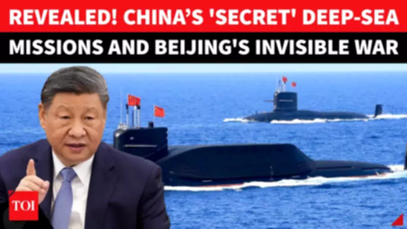
China's Covert Ocean Strategy: Deep-Sea Mapping and Surveillance Ships Spark Global Concern
Beneath the tranquil surface of the world's vast oceans, a silent and profound transformation is unfolding—one that could fundamentally reshape the future of global conflict and strategic competition. While traditional warfare remains visible in the skies and on land, the next major battleground may be hidden deep underwater, in realms that are difficult to monitor and nearly impossible to track with conventional means.
Scientific Research or Strategic Maneuvering?
China is rapidly accelerating its undersea mapping and surveillance operations across critical maritime regions, including the Pacific Ocean, Indian Ocean, and even the remote Arctic waters. Officially, these missions are presented as scientific endeavors focused on climate studies, resource exploration, and environmental monitoring. However, mounting evidence from recent reports and expert analyses suggests a far more calculated and strategic purpose behind these activities.
Advanced research vessels, such as the Dong Fang Hong 3, have been deployed to conduct detailed surveys in highly sensitive areas. These include waters near Taiwan, Guam, and key strategic zones in the Indian Ocean. The vessels operate with precision, following repeated and systematic patterns—a methodology well-known for enabling high-resolution seabed mapping that can serve both civilian and military objectives.

The Implications of Underwater Surveillance
The expansion of China's ocean surveillance capabilities raises significant alarms among global security experts and policymakers. Detailed seabed mapping is not merely an academic exercise; it provides crucial data for submarine navigation, underwater communication networks, and the potential deployment of subsea infrastructure or weapons systems. In an era where undersea cables form the backbone of global internet connectivity, such knowledge could translate into substantial strategic advantages.
Key concerns include:
- The potential for China to gain a tactical edge in future underwater conflicts by mapping submarine routes and hiding spots.
- The dual-use nature of surveillance technology, which blurs the line between scientific research and military intelligence gathering.
- The challenge of monitoring these activities, given the vastness and depth of the oceans, making oversight by other nations exceptionally difficult.
Global Response and Strategic Calculations
As China's invisible ocean war intensifies, countries around the world are reassessing their maritime security postures. The United States, India, Japan, and other regional powers are likely to enhance their own undersea surveillance and mapping efforts to counterbalance China's advancements. This silent competition underscores a broader shift toward multi-domain warfare, where dominance below the waves could be as decisive as control of the skies or seas.
The strategic stakes are immense. Control over underwater terrain could influence everything from resource extraction to military logistics in potential conflict scenarios. With tensions already high in regions like the South China Sea and the Taiwan Strait, China's covert ocean activities add another layer of complexity to an already volatile geopolitical landscape.
In conclusion, while the oceans may appear calm on the surface, the depths are becoming a new frontier for strategic rivalry. China's deep-sea mapping and surveillance operations, masked as scientific research, represent a significant development in global security dynamics. As this silent war unfolds, the international community must remain vigilant, recognizing that the future of warfare may well be decided in the hidden realms beneath the waves.