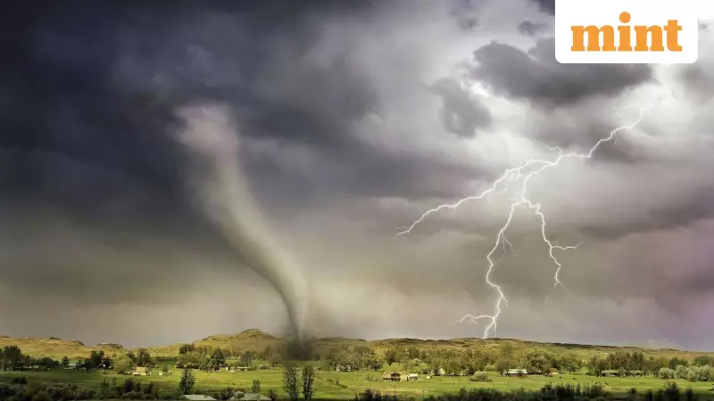
The US National Weather Service (NWS) has put a significant part of the American Midwest on high alert, issuing a Tornado Watch for numerous counties across the states of Indiana and Illinois. The advisory, a critical warning for residents, was announced on Sunday afternoon, signalling the threat of dangerous weather conditions.
Affected Areas and Timings
The alert was officially released around 3:45 pm local time on Sunday. Authorities have stated that the Tornado Watch will remain active until 9 pm the same evening. The warning covers a vast swath of land, encompassing dozens of counties in both states.
In Indiana, the counties under the watch include: Benton, Boone, Brown, Carroll, Cass, Clay, Clinton, Daviess, Dubois, Fountain, Gibson, Greene, Hamilton, Hendricks, Howard, Johnson, Knox, Lawrence, Marion, Martin, Miami, Monroe, Montgomery, Morgan, Orange, Owen, Parke, Pike, Posey, Putnam, Spencer, Sullivan, Tippecanoe, Tipton, Vanderburgh, Vermillion, Vigo, Warren, Warrick, and White.
Similarly, in Illinois, residents in the following counties should be on guard: Alexander, Bond, Champaign, Christian, Clark, Clay, Clinton, Coles, Crawford, Cumberland, De Witt, Douglas, Edgar, Edwards, Effingham, Fayette, Ford, Franklin, Gallatin, Hamilton, Hardin, Iroquois, Jackson, Jasper, Jefferson, Johnson, Lawrence, Livingston, Macon, Marion, Massac, McLean, Montgomery, Moultrie, Perry, Piatt, Pope, Pulaski, Randolph, Richland, Saline, Shelby, Union, Vermilion, Wabash, Washington, Wayne, White, and Williamson.
The severe weather threat is driven by a potent line of storms moving across the Midwest. Along with the tornado risk, the NWS has warned that affected areas could experience damaging wind gusts of up to 75 mph and possible hailstorms.
Essential Safety Precautions
For residents in the path of these storms, taking immediate and appropriate safety measures is paramount. The primary advice is to stay informed by monitoring local news broadcasts or a NOAA Weather Radio for real-time updates and instructions.
Where to Take Shelter
If you are at home: Move to a pre-designated safe shelter immediately. The safest places are a basement or an interior room on the lowest floor, away from windows. Rooms like bathrooms, closets, or hallways offer better protection.
If you are at work or school: It is crucial to follow established tornado drill procedures. Proceed calmly and quickly to the designated tornado shelter location in the building. Avoid large, open rooms like auditoriums or cafeterias.
If you are outdoors: Seek shelter in a sturdy building without delay. Do not wait for the storm to arrive. If no substantial shelter is available, lie flat in a nearby ditch or low-lying area and cover your head.
If you are driving: Driving during a tornado warning is extremely dangerous. The best course of action is to drive to the closest sturdy shelter and park your vehicle. Do not try to outrun the tornado. If you cannot find shelter, abandon the car and find a low spot to take cover.
Staying Vigilant
A Tornado Watch means conditions are favourable for tornadoes to develop. Residents should review their emergency plans, ensure they have multiple ways to receive warnings, and be prepared to act quickly if a Tornado Warning—indicating a tornado has been sighted or indicated by radar—is issued for their location. The situation underscores the unpredictable nature of severe weather in the region and the importance of heeding official advisories.


