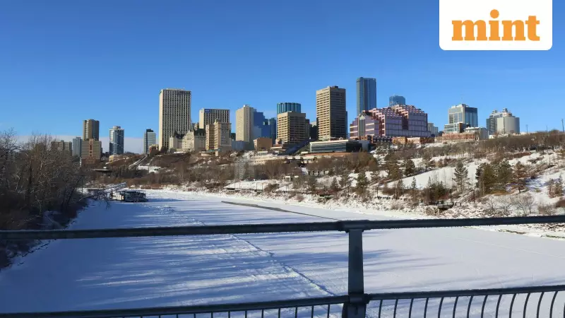
The United States is bracing for an unprecedented early winter onslaught as a powerful polar vortex descends upon the eastern regions, bringing record-breaking cold temperatures that threaten to disrupt normal life from the Dakotas to Florida.
What is Causing This Extreme Cold?
Meteorologists attribute this severe weather pattern to a combination of La Niña conditions and an easterly Quasi-Biennial Oscillation. These climate phenomena are enabling Arctic air, typically confined to the North Pole, to spill southward into the eastern United States. The National Weather Service has issued warnings about significant cold and snow conditions that could make this weekend feel more like mid-January than early November.
According to FOX News reports, this atmospheric setup will allow multiple rounds of frigid Arctic air to penetrate lower atmospheric levels and sweep across the Eastern US. Washington Post meteorologist Ben Noll confirmed in a social media post that the first Arctic outbreak of the season will cause temperatures to plummet dramatically early next week.
Which Regions Will Be Most Affected?
The cold wave is expected to impact a vast geographical area with varying intensity. Weather.com forecasts indicate that the coldest air of the season will arrive Sunday into Monday as a strong Arctic cold front pushes southward.
Major cities including Minneapolis, Chicago, and Detroit will experience highs only in the 30s Fahrenheit, while areas along the I-95 corridor and as far south as Atlanta will see temperatures struggling to reach the 40s. The National Weather Service Chicago warned that an early taste of winter arrives this weekend with rain mixing with snow by early Sunday, followed by lake-effect snow into Monday.
In a surprising twist noted by Fox Weather Meteorologist Dylan DeBruyn, Tallahassee, Florida may experience freezing temperatures before New York City. This is particularly unusual given that typical low temperatures for New York City in early November usually hover in the mid-40s.
How Long Will This Cold Spell Last?
While the immediate forecast appears bleak, meteorologists offer some reassurance that this extreme cold won't mark the permanent arrival of winter. Ben Noll clarified that while snow will fall across some northern states, especially near the Great Lakes, milder air will eventually return.
The National Weather Service Chicago anticipates that the cold blast will ease by the middle of next week. However, the Indianapolis National Weather Service has urged residents to start preparations for several wintry days early next week, warning of consecutive nights with lows below 25°F and wind chills as low as 10-15°F.
Weather Trader meteorologist Ryan Maue dramatically summarized the situation: "We're skipping fall and going right to winter." This sentiment is already becoming reality in Upstate New York, where residents in Webb have officially begun experiencing decent snowfall.
Understanding the Polar Vortex Phenomenon
The National Weather Department explains that the polar vortex is a large area of low pressure and cold air that constantly surrounds both of Earth's poles. While it always exists near the poles, it weakens during summer and strengthens in winter. The term "vortex" specifically refers to the counter-clockwise flow of air that helps contain colder air near the Poles.
As this weather system unfolds, authorities emphasize the importance of winter preparedness. The Indianapolis National Weather Service specifically advised people to begin preparations for the incoming wintry conditions, highlighting the risks of wind-driven snow flurries and dangerously low wind chills.


