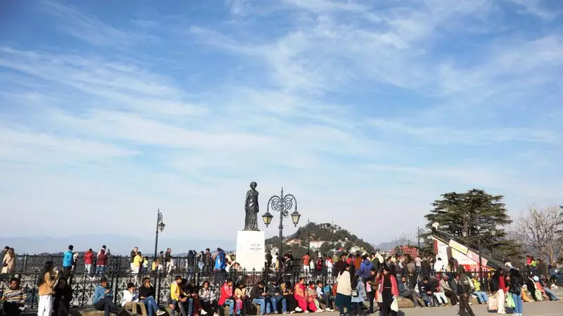
The picturesque hill state of Himachal Pradesh is bracing for a fresh bout of winter weather, with meteorological authorities predicting a significant change starting Tuesday, January 16. The higher reaches of the state are expected to receive new snowfall, while mid and lower hills are likely to experience rainfall, marking a shift from the recent dry spell.
IMD Issues Forecast for Western Disturbance
According to the latest bulletin from the India Meteorological Department (IMD), a western disturbance is approaching the region. This weather system is anticipated to become active over Himachal Pradesh from the night of January 15. The primary impact, however, will be felt from January 16 onwards, bringing precipitation across various parts of the state.
The forecast indicates that light to moderate rainfall or snowfall is probable at many places on January 16 and 17. Specifically, the IMD has highlighted that isolated heavy rainfall or snowfall is very likely over the districts of Chamba, Kangra, Kullu, Mandi, Shimla, Sirmaur, Kinnaur, and Lahaul & Spiti during this two-day period.

Impact on Key Mountain Passes and Valleys
This incoming weather activity is set to affect some of the state's most crucial and sensitive high-altitude corridors. The famous Rohtang Pass, a vital gateway, is expected to receive fresh snowfall. Similarly, the Lahaul and Spiti Valley, along with other higher mountainous regions, are likely to be blanketed in snow once again.
Authorities are advising caution as the snowfall could lead to disruptions in surface transportation. Key mountain passes might experience temporary blockages or require traffic regulation. Residents and tourists, especially those planning travel to these elevated areas, are urged to stay informed about the latest road conditions and weather advisories.
A Return to Winter Norms
The predicted precipitation comes after a period of relatively dry weather in the hills. This new western disturbance is a typical winter phenomenon for North India and is expected to restore colder temperatures and active winter conditions across Himachal Pradesh.
Local meteorological centers are closely monitoring the development of this system. Further updates regarding intensity, exact locations to be affected, and any associated warnings for avalanches or landslides in vulnerable zones will be issued as the situation evolves. The weather is expected to gradually improve and clear from January 18 onward.