NASA's PACE Satellite Revolutionizes Pollution Tracking with Neighborhood-Scale Precision
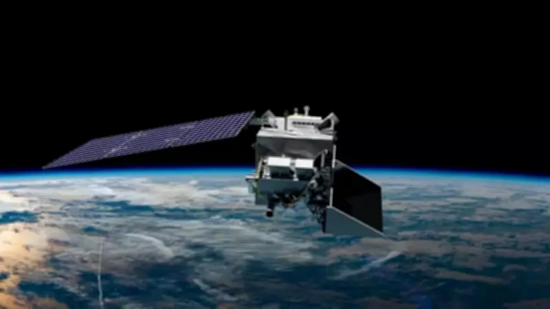
NASA's latest Earth-observing technology is fundamentally transforming how society can identify and hold polluters accountable. The Plankton, Aerosol, Cloud, Ocean Ecosystem (PACE) satellite, which launched successfully on February 8, 2024, was originally designed with a primary mission of assessing the health of Earth's oceans. However, this advanced spacecraft has revealed an unexpected additional capability that is proving equally significant: serving as an unprecedented guide for air quality management and pollution source identification.
Hyperspectral Technology Enables Pollution Fingerprinting
Using its sophisticated Ocean Colour Instrument (OCI), PACE has achieved a remarkable level of precision that enables the detection of nitrogen dioxide emissions from specific highways, power plants, shipping facilities, and industrial locations. This breakthrough represents a paradigm shift from estimating pollution levels over broad geographical areas to accurately identifying the exact sources of pollution through what scientists are calling "pollution fingerprints."
The OCI instrument tracks pollution on what researchers describe as a "neighborhood scale," a significant advancement over traditional satellite methods that often map atmospheric haze as homogenized data sets, blurring distinct pollution sources. Unlike conventional instruments, OCI detects a continuous spectrum of wavelengths from ultraviolet through shortwave infrared (340 nanometers through 2260 nanometers), providing hyperspectral capability that was previously unavailable from space-based sensors.

Nitrogen Dioxide: The Key to Pollution Source Identification
NASA researchers have identified nitrogen dioxide as the critical component in pinpointing pollution sources with unprecedented accuracy. This highly reactive pollutant is created primarily through human activities involving fossil fuel combustion for energy production and transportation. What makes nitrogen dioxide particularly valuable for source tracking is its behavior in the atmosphere: it remains concentrated near its emission source until interacting with sunlight, where it then contributes to ground-level ozone formation.
The relatively short atmospheric lifetime of nitrogen dioxide—often just a few hours—makes timely detection crucial for determining where the greatest immediate health risks to nearby communities exist. By daily tracking these "emission signatures," NASA provides health agencies and researchers with highly detailed data that enables targeted interventions to protect vulnerable populations from local pollution sources.
Dual-Satellite System Provides Comprehensive Pollution Monitoring
The PACE mission operates in concert with NASA's TEMPO (Tropospheric Emissions: Monitoring of Pollution) mission to create a comprehensive pollution monitoring system. While PACE provides high-resolution daily "snapshots" of stationary emissions with approximately 1-kilometer spatial resolution, TEMPO complements this data by offering continuous geostationary information on pollution movement and dispersion over North America every hour.
This dual-satellite approach enables public agencies to both identify pollution sources and track their movement in real-time. The combined data supports immediate public health responses, including same-day health alerts for communities affected by toxic emissions, while also informing long-term urban planning and environmental policy decisions.
Transforming Environmental Accountability and Public Health Protection
The implications of this technological advancement are profound for environmental regulation and public health protection. By mapping and understanding exactly where air pollution originates, NASA is providing regulatory agencies with tools that were previously unimaginable. The ability to distinguish unique plumes of gases from different industrial sites represents a quantum leap in environmental monitoring capabilities.

This breakthrough comes at a critical time when communities worldwide are increasingly concerned about local pollution sources and their health impacts. The detailed vertical column density measurements of nitrogen dioxide that PACE provides at nadir (directly below the satellite) offer an unprecedented level of granular transparency in environmental monitoring, potentially transforming how societies regulate industrial emissions and protect public health for generations to come.