Andhra Pradesh Embraces Technology for Water Governance
In an era marked by climate uncertainty and severe drought warnings, the Andhra Pradesh government is turning to technology-driven water governance through its ambitious “Jaladhara–Jala Harathi” initiative. The programme aims to scientifically monitor, protect, and rejuvenate water bodies across the state using satellite imagery. Every water body will be GIS-mapped to provide real-time updates from the field, marking a shift from conventional irrigation management to a data-driven water-conservation model.
How the Initiative Works
The water resources department is now identifying lakes, ponds, canals, feeder channels, and irrigation tanks through satellite images to assess their storage levels, encroachments, connectivity, and seasonal changes. The objective is not merely to restore old water bodies but to create a long-term water security network capable of supporting agriculture, drinking water needs, and groundwater recharge.
Chief Minister's Directives
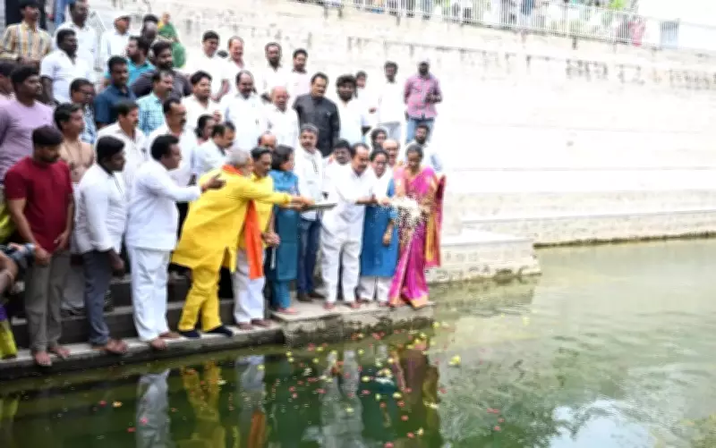
Chief Minister Chandrababu Naidu has directed district collectors to implement the programme in mission mode and replicate successful conservation models across all districts. During a recent review, he stressed the need for strict monitoring at the mandal level, restoration of canals and tanks, and ensuring that every possible water body is filled during the monsoon season.

Success Story from Annamayya District
At the heart of the programme lies the successful model evolved in Annamayya district, which has emerged as a benchmark in scientific water conservation. Once considered among the most drought-prone regions in the state, the district has undergone a remarkable transformation under “Project Jaladhara.” Instead of relying solely on new irrigation projects, officials focused on restoring and interlinking existing tanks, feeder channels, and natural water systems.
Role of Satellite Monitoring
Satellite monitoring played a crucial role in this transformation. Data generated by the Andhra Pradesh Space Applications Centre reportedly showed a substantial increase in water spread areas, vegetation cover, and groundwater recharge after restoration works were undertaken. According to official assessments, water bodies in the district expanded significantly, while thousands of defunct borewells became functional again due to improved groundwater levels.
Detecting Encroachments and Illegal Diversions
The technology-based approach is also helping authorities detect encroachments on lakes and tanks, monitor illegal diversions, and study seasonal water retention patterns. Experts say satellite-based mapping provides faster and more accurate information compared to conventional field surveys, enabling quicker intervention and better planning.
Expected Benefits
Officials believe the Jaladhara–Jala Harathi programme could eventually become one of the state’s most significant climate resilience initiatives. Beyond irrigation, the programme is expected to improve drinking water availability, enhance groundwater tables, reduce electricity consumption in agriculture, and support rural livelihoods. With water emerging as one of the most critical development challenges of the future, Andhra Pradesh appears to be betting on technology, scientific planning, and local participation to secure every possible drop.