
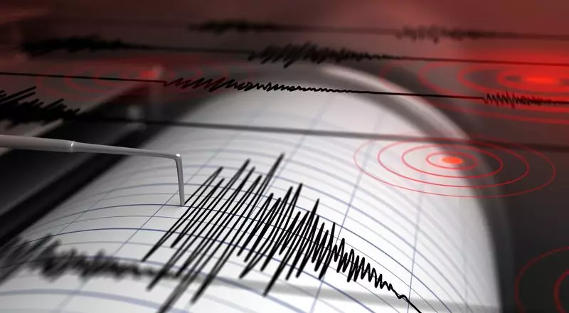
A powerful earthquake rattled the island nation of Papua New Guinea on Tuesday, sending tremors through the region and reminding residents of the volatile geology beneath their feet. The seismic event, which registered a significant magnitude of 6.4, struck in a remote area but was felt across a wide swath of the country.
Details of the Seismic Event
The United States Geological Survey (USGS), the authoritative body monitoring global earthquakes, confirmed the quake's specifics. According to their data, the tremor's epicenter was located in the East Sepik Province of Papua New Guinea. It struck at a considerable depth of approximately 62.4 kilometers (about 38.7 miles) beneath the Earth's surface. The quake occurred at 06:22:34 Indian Standard Time (IST) on the morning of the event.
Despite the substantial power released by the quake, authorities were quick to assess the broader risks. The Pacific Tsunami Warning Center, a key agency for the region, promptly issued a statement confirming that there was no tsunami threat from this particular seismic activity. This crucial information helped alleviate immediate fears for coastal communities across the Pacific basin.
Geological Context and Regional Impact
Papua New Guinea's location makes it inherently prone to earthquakes. The nation sits squarely on the infamous Pacific Ring of Fire, a massive horseshoe-shaped zone around the Pacific Ocean known for intense volcanic and seismic activity. This ring is where several tectonic plates collide and grind against each other, creating a perfect environment for frequent earthquakes.
Initial reports suggested the shaking was felt in various parts of the country, though the most intense effects were naturally centered near the epicentral region in East Sepik. The depth of the quake, classified as intermediate, likely played a role in mitigating severe surface damage. Deeper quakes often spread their energy over a wider area but may cause less violent shaking directly at the surface compared to shallower events of the same magnitude.
Response and Looking Ahead
As of the initial hours following the event, there were no immediate reports of major damage or casualties. However, assessments are ongoing, especially in the more remote villages near the epicenter where infrastructure can be vulnerable. Local disaster response teams and national authorities typically mobilize after events of this scale to check on isolated communities and evaluate the integrity of buildings and roads.
This earthquake serves as a stark reminder of the dynamic and unpredictable nature of the Earth's crust in this part of the world. For seismologists, the data gathered from this event will be vital for understanding the complex fault systems in the East Sepik region. For residents, it is another instance of the powerful natural forces that shape life on the geologically active islands of the Southwest Pacific. The region's history suggests that while this event has passed without a major disaster, vigilance and preparedness remain essential for the future.