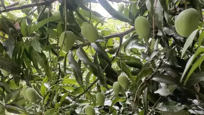
Bengaluru: Karnataka is set to launch an ambitious technology-driven heritage conservation initiative in the historic temple town of Lakkundi in Gadag district. Satellite imaging technology will be deployed to identify and unveil the famed “101 wells and 101 temples” believed to lie hidden beneath the historic temple town.
High-Level Meeting with Scientists
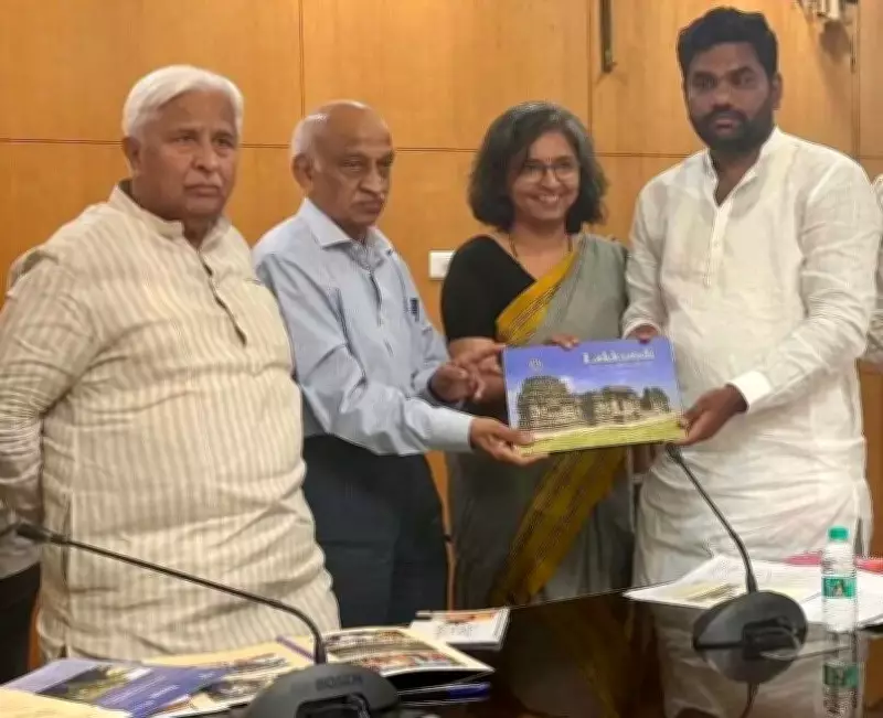
Tourism Minister HK Patil held a high-level meeting with scientists from the National Institute of Advanced Studies (NIAS) in Bengaluru on Wednesday. He stated that the state government aims to identify and unveil all 101 temples and wells in Lakkundi by December 31, 2026, with support from NIAS researchers, Indian Space Research Organisation (ISRO) scientists, and local residents.
Progress So Far
Officials from the tourism department reported that since 2023, more than 70 monuments have already been identified, including 32 temples, 28 wells, and seven other structures. Archaeological excavations in November 2024 unearthed over 1,500 artefacts during the first phase of exploration. The second phase, which began on May 2, 2026, has already yielded more than 1,800 additional artefacts. Authorities expect over 5,000 artefacts from both phases to eventually be documented and displayed in a proposed open-air museum by June 30.

KASTURI Heritage-Mapping Portal
The latest initiative builds upon NIAS’s recently launched KASTURI heritage-mapping portal — Knowledge-base of Archaeology and Heritage using Spatial Technologies: Unified Resource for India (KASTURI). This portal integrates satellite imagery, GIS mapping, archival records, and field documentation to identify hidden cultural landscapes across the country. Developed with support from ISRO and hosted on ISRO’s Bhuvan platform, the portal is designed to detect subtle archaeological signatures such as buried water systems, vanished fort walls, settlement boundaries, and ancient routes that are no longer visible on the ground.
UNESCO Recognition and Conservation
Former ISRO chairperson Kiran Kumar, who attended the meeting, stressed the importance of securing UNESCO recognition for Lakkundi and backed the use of satellite technology to uncover the historic structures. Prof MB Rajani, a researcher from NIAS who leads the geospatial heritage initiative, had previously pointed out that satellite imagery can reveal historical footprints through moisture lines, vegetation patterns, and terrain variations that survive even after structures disappear physically. The same technology is now being adapted for Lakkundi to map temple clusters, stepwells, water systems, and buried archaeological remains spread across the medieval settlement. She presented a demonstration of how satellite imagery is being used to map hidden temple and well networks across the heritage town.
The state government is simultaneously pushing for Lakkundi’s inclusion in the UNESCO World Heritage Sites list. Conservation work worth Rs 10 crore has already been launched for six monuments, while more than 10 additional structures have been proposed for restoration under the 2026-27 action plan. The ongoing “Panch Temples and Panch Wells” restoration initiative launched earlier this year has now expanded into the “Dash Wells and Dash Temples” programme.