US Trade Office Removes Controversial Map After India-US Trade Deal Announcement
In a significant development, the Office of the United States Trade Representative (USTR) has deleted a social media post that featured a map of India showing the entire region of Jammu and Kashmir, including Pakistan-occupied Kashmir (PoK), as well as the Aksai Chin area, as integral parts of Indian territory. This action comes just one week after the signing of a joint statement on the India-US trade deal, highlighting the sensitive geopolitical nature of these disputed regions.
Map Controversy and Immediate Deletion
The USTR had initially posted information about the newly announced bilateral interim agreement framework between New Delhi and Washington DC on the social media platform X. Accompanying the trade deal details was a map that depicted all of Jammu and Kashmir, including areas under Pakistani control, and the Aksai Chin region, which is claimed by China, as belonging to India. This representation starkly contrasts with previous maps that often use demarcated lines to indicate these contested zones.
However, the specific post containing this map has now been removed from the USTR's official X handle. The deletion underscores the ongoing diplomatic sensitivities, as both Pakistan and China have long-standing disputes with India over these territories. India's official stance, reiterated consistently, is that the entire Union Territory of Jammu and Kashmir is an inalienable part of the country, and it asserts historical claims over Aksai Chin based on past treaties.

Background on Territorial Disputes
This incident is not isolated in the context of map controversies. Previously, China released its "standard map," which stakes claim over Arunachal Pradesh, Aksai Chin, Taiwan, and the South China Sea, further complicating regional dynamics. The USTR's map, albeit temporary, aligned with India's position but risked inflaming tensions with neighboring nations.
The swift removal suggests a cautious approach by US authorities to avoid unintended diplomatic repercussions following the trade agreement. It reflects the delicate balance required in international relations, where cartographic representations can carry significant political weight.
White House Revises Trade Deal Factsheet
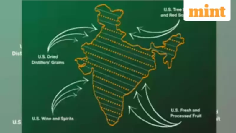
In a related move, the White House has updated the factsheet released a day after the India-US trade deal was signed. The revisions indicate a step back from several key assertions regarding India's commitments. Notably, the original version stated that "India committed to buy more American products and purchase over $500 billion of US energy, information and communication technology, agricultural, coal, and other products."
The revised factsheet now uses softer language, saying India "intends" to buy more American products and omits the term "agricultural" from the product categories. Additionally, it removes mentions of "certain pulses" from the list of agricultural products for tariff elimination. On digital trade, the initial claim that "India will remove its digital services taxes" has been dropped, though the commitment to negotiate bilateral digital trade rules remains.
Implications and Broader Context
The India-US trade deal, announced as a framework to reduce import duties and boost two-way trade, represents a milestone in bilateral relations. However, these recent developments—the map deletion and factsheet tweaks—highlight the complexities involved in finalizing and communicating such agreements. They underscore how even minor details, from territorial depictions to wording in official documents, can attract scrutiny and require adjustments to maintain diplomatic harmony.
As both nations navigate these issues, the focus remains on strengthening economic ties while managing geopolitical sensitivities. The incident serves as a reminder of the intricate interplay between trade, politics, and national sovereignty in global affairs.