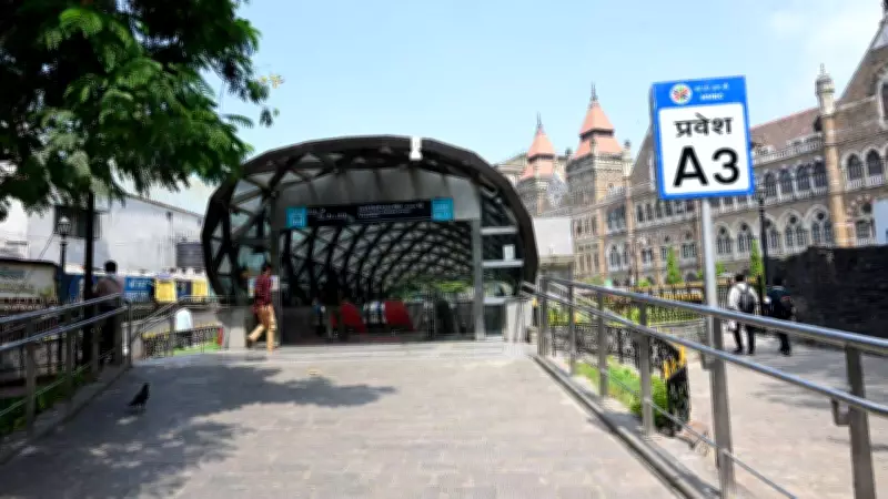
BMC Unveils Comprehensive Planning Initiative for Mumbai Metro Line 3 Stations
The Brihanmumbai Municipal Corporation (BMC) has announced a significant urban planning project aimed at transforming the areas surrounding Mumbai Metro Line 3. This initiative involves the preparation of detailed Local Area Plans (LAPs) for all 27 stations along the metro corridor, with a targeted completion date of March 31, 2028. The move is designed to optimize land use, improve traffic management, and boost infrastructure development in key transit zones.
First Phase Targets Four Priority Stations with Rs 1.37 Crore Budget
In the initial phase of this ambitious project, the BMC will focus on four specific stations under the Transit Oriented Development (TOD) framework. A budget of Rs 1.37 crore has been approved for this phase, and the project has been granted a GST exemption to facilitate smoother execution. This strategic prioritization aims to set a precedent for subsequent phases, ensuring efficient resource allocation and timely progress.
Extensive Road Surveys to Assess Structural Conditions and Obstacles
As part of the LAP exercise, the BMC will conduct thorough surveys of roads ranging from 12 to 45 metres in width. These surveys will meticulously inspect structural conditions, pavements, dividers, lanes, and any obstacles that could impede development. The findings will be crucial in formulating effective road improvement plans and ensuring seamless integration with the metro infrastructure.

Multi-Faceted Data Collection Using Advanced Techniques
Planners will employ a combination of satellite imagery, field surveys, and traffic studies to gather comprehensive data on current urban conditions around each metro station. This data-driven approach will enable a holistic assessment, facilitating informed decision-making for future development proposals.
Detailed Traffic and Pedestrian Studies to Enhance Mobility
The planning process will include in-depth household surveys, traffic flow analysis, pedestrian movement studies, and parking pattern assessments. Utilizing stratified random sampling methods, these studies aim to develop robust circulation plans that improve mobility and reduce congestion in the station vicinities.
Land-Use Mapping Through Satellite Imagery and On-Site Verification
Open-source satellite imagery will be leveraged alongside on-site verification to create detailed land-use maps and situation analysis reports for all study areas. This meticulous mapping will provide a clear picture of existing land utilization, guiding future development strategies.
Infrastructure Cost Estimates and Road Design Proposals
Rough cost estimates for necessary road improvements will be prepared, focusing on essential upgrades while excluding beautification elements. Additionally, detailed road design proposals will be formulated to ensure infrastructure enhancements are both practical and sustainable.
Comprehensive LAP Reports to Outline Development Frameworks
For each metro station area, the final LAP reports will encompass land-use analysis, development proposals, infrastructure interventions, and implementation frameworks. These reports will serve as blueprints for coordinated urban growth, aligning with the broader goals of Transit Oriented Development and enhancing the overall livability of Mumbai's transit corridors.