As the United States prepares to ring in the New Year, a powerful cocktail of extreme weather is set to sweep across the nation. The National Weather Service (NWS) has issued warnings for a multi-pronged threat, ranging from a deep Arctic freeze and heavy snow to potential flash flooding in California.
Arctic Blast Fuels Lake-Effect Snow Machine
The NWS has pinpointed a surge of Arctic air following a major storm as the primary driver of dangerous conditions. This cold blast is expected to keep the lake-effect snow machine highly active in regions downwind of the Great Lakes. The most severe impact is forecast for areas near Lake Erie and Lake Ontario.
Weather officials predict an additional 1 to 2 feet of snowfall in these zones, with isolated pockets potentially receiving more than 3 feet of snow over the next 48 hours due to persistent snow bands.

Snow Squalls and Widespread Winter Impacts
The arrival of a fast-moving system known as an Alberta clipper will reinforce the cold air and trigger hazardous snow squalls. These sudden, intense bursts of snow are likely from the Ohio Valley through Pennsylvania and into western New York, particularly from late Wednesday into early New Year's Day.
Snow showers will also spread across the upper Midwest, the Northern Plains, and interior New England. As the clipper strengthens over New England on New Year's Day, widespread accumulating snowfall is expected. Downeast Maine could be hit hardest, with forecasts of 8 inches or more of snow between January 1 and Friday morning, accompanied by blustery winds and plunging wind chills across several northeastern states.
The cold is so intense that freezing temperatures reached as far south as north-central Florida early on Wednesday, December 31.
Flash Flood Threat for Southern California
While the eastern half of the country battles snow and ice, the West Coast faces a different peril. The NWS is closely monitoring a low-pressure system from the eastern Pacific that is spreading rain into southern California.
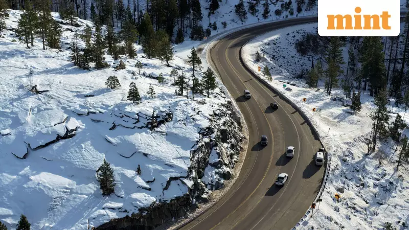
The agency warns that heavy rain could impact coastal areas, including Los Angeles, early on New Year's Day, raising a significant risk of flash flooding. The rain will expand north across much of California, while higher elevations in the Great Basin and Rockies are expected to see accumulating snow.
Although this Pacific storm is forecast to weaken after making landfall, its moisture will continue to bring high-elevation snow and lower-elevation rain from the Intermountain region into the northern and central Rockies through Friday morning.
In contrast, the Intermountain West will experience quieter and milder-than-normal conditions under a stable high-pressure ridge. Meanwhile, as the Alberta clipper pushes another surge of Arctic air into the upper Midwest, warmer air over the Northern Plains will be displaced southward into the central Plains.
Residents across the affected regions are urged to stay updated with the latest forecasts from the NWS and prepare for rapidly changing and potentially dangerous travel conditions as the New Year begins.