The National Weather Service has issued its highest-level warning for parts of Southern California, placing the region under a High Risk (Level 4 out of 4) of excessive rainfall lasting through Thursday morning. A powerful atmospheric system, drawing a vast plume of moisture from the Pacific Ocean, threatens to unleash severe and widespread flash flooding that could endanger lives and property.
Catastrophic Flooding Threat for Los Angeles and Surrounds
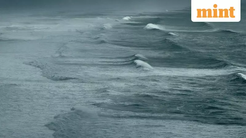
Meteorologists are sounding alarms over the potential for a historic deluge. The National Weather Service warned that "areas that normally do not experience flash flooding will flood" and that the situation poses a great danger. AccuWeather Senior Meteorologist Tyler Roys provided staggering context, noting that downtown Los Angeles is projected to receive 4 to 8 inches of rain this week alone. This amount is two to three times the city's entire historical average rainfall for December, which stands at 2.48 inches.
The core of the storm is expected to hit hardest through Wednesday. Rainfall rates could reach an intense 2 inches per hour, a pace that would easily overwhelm drainage systems, turning streets into fast-moving rivers. AccuWeather's Chief On-Air Meteorologist Bernie Rayno cautioned that driving around Los Angeles during the peak of the storm will be especially hazardous.

An elevated risk of destructive debris flows exists for regions recently scarred by wildfires, including the areas affected by the Palisades and Eaton fires earlier this year. Brandon Buckingham, an AccuWeather Meteorologist, explained that fast-moving runoff can pick up rocks, mud, and debris, creating deadly flows that can destroy homes and roads with little warning.
Sierra Nevada Buries Under Feet of Snow, Travel Grinds to a Halt
While Southern California battles floods, the Sierra Nevada Mountains are bracing for a monumental snowfall. Forecasts indicate that many ridges and peaks will be buried under 8 to 12 feet of snow, with some isolated areas potentially receiving up to a staggering 15 feet. The snow level is expected to drop to around 5,000 feet by Christmas, affecting lower elevations.
At the critical Donner Pass along Interstate 80, 2 to 4 feet of snow is forecast from Wednesday night through Christmas Day and into Friday. This will lead to extremely dangerous travel conditions, with temporary closures of major routes like I-80 likely. While the snowpack will be a boon for ski resorts and the state's water reserves, it poses a severe risk of stranding holiday travelers.
Widespread Disruption: Air Travel, Power Outages, and Tornado Risk
The storm's impacts will be felt far beyond the flooded streets and snowy passes. Major transportation hubs, including airports in Los Angeles, San Francisco, and Sacramento, are expected to face significant delays and cancellations due to strong winds, poor visibility, and potential runway flooding.
Damaging wind gusts of 40 to 60 mph are predicted across many areas, with the power to topple trees and knock out electricity. The strongest gusts, potentially reaching 60 to 80 mph, are anticipated in the Sierra Nevada, the northern and central coasts, and around Mount Shasta. AccuWeather has even reported a Local StormMax gust of 130 mph in the mountains. The unstable airmass also brings a threat of thunderstorms, hail, and isolated tornadoes or waterspouts.
Storm's Lingering Grip Through the Holiday Weekend
Although the storm's ferocity is predicted to diminish from Friday to Saturday, the aftermath will linger. Cold air and residual moisture will maintain hazardous conditions across California. Snow may dust passes along Interstates 5 and 15 in Southern California, leading to slippery travel through the weekend. Residents and travelers are urged to stay informed, avoid non-essential travel during the peak of the weather, and heed all warnings from local authorities.