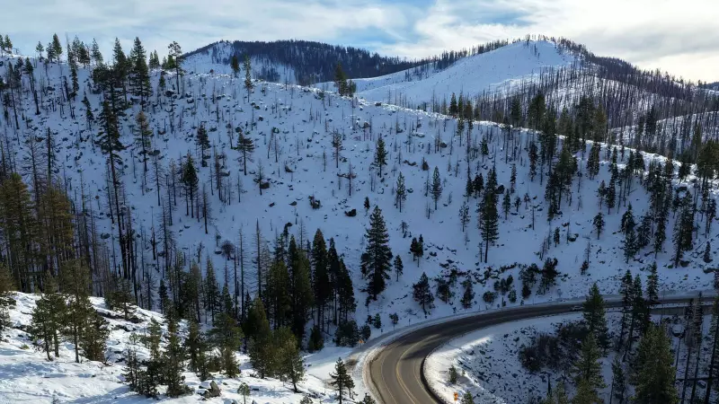
In a dramatic weather event, the highest summits of Hawaii were transformed into a winter wonderland this week as a powerful storm system blanketed the peaks with several feet of snow and ice. The National Weather Service (NWS) has now scaled back its alert from a winter storm warning to a winter weather advisory for elevations above 11,000 feet as conditions begin to slowly improve.
What is a Kona Low Storm?
The unusual wintry spectacle was caused by a specific type of storm known locally as a "Kona Low." This system developed directly over the Hawaiian Islands, disrupting the typical trade-wind pattern. Unlike the usual weather, a Kona Low pulls winds from the south—"kona" means leeward in Hawaiian—bringing a mix of heavy rain, thunderstorms, strong winds, and significantly cooler temperatures across the archipelago.
These storms are most common during the cooler months and are often slow-moving, leading to prolonged periods of severe weather. At the extreme elevations of volcanoes like Maunakea and Mauna Loa, the drop in temperature was enough to turn precipitation into heavy snow and create dangerous icy conditions.
Snowfall Estimates and Official Warnings
The NWS had initially issued a winter storm warning on Sunday for the summits of Hawaii Island, anticipating the severe conditions. While no official snowfall measurements were recorded, a meteorologist from the NWS Honolulu office provided a striking estimate.
Will Ahue told SFGATE that an estimated 2 to 3 feet of snow accumulated on the peaks due to the storm's intensity. The heavy snow and ice led to the closure of the road beyond the visitor centre that leads to the summit of Maunakea. Authorities have stated it will remain closed until further notice for safety.
Current Conditions and Clearing Skies
As of Tuesday, the situation is beginning to ease. Meteorologist Ahue noted that webcam images show some clouds starting to clear from the mountainous regions, signalling the gradual weakening of the Kona Low's influence. The downgrade from a warning to an advisory indicates that the most intense period has passed, but hazardous conditions persist at high elevations, and travellers are urged to remain cautious.
This event highlights the diverse and powerful weather patterns that can affect Hawaii, far from its stereotypical sunny beaches. The islands' unique geography, with peaks soaring over 13,000 feet, can create microclimates capable of producing such surprising winter phenomena.


