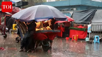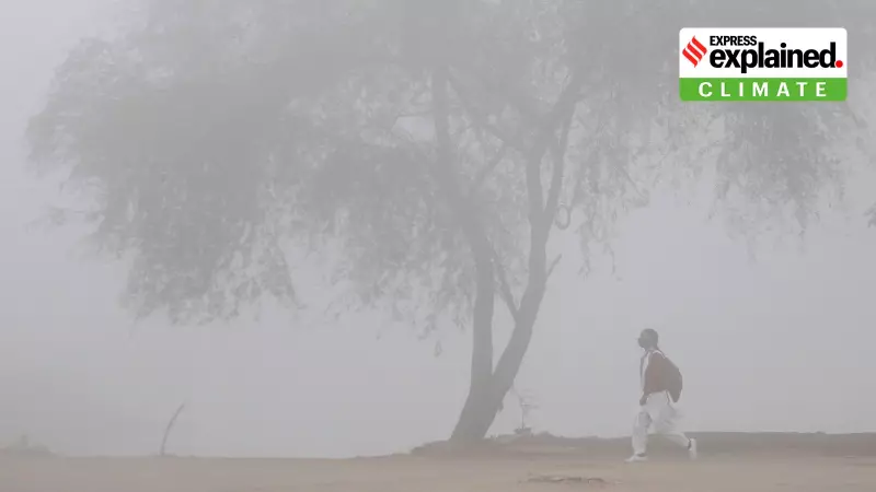
For several consecutive days, a thick blanket of dense to very dense fog has enveloped large parts of North India, severely disrupting daily life. The regions of Punjab, Haryana, and the union territory of Chandigarh have been particularly affected, experiencing sharply reduced visibility that persists even during daytime hours. The India Meteorological Department (IMD) has issued a yellow alert for dense to very dense fog over these areas, with forecasts indicating that the foggy and cold conditions are likely to continue until at least December 27.
Current Weather and IMD Warnings
Weather conditions have remained predominantly dry across Punjab and Haryana. However, the persistent fog has led to the declaration of 'cold day' conditions in several districts. A 'cold day' is officially recognized when the minimum temperature dips below 10°C in plains and under 0°C in hilly regions.
In Punjab, the average maximum temperature, though slightly higher than the previous day, remains 2.1°C below the seasonal normal. The IMD has issued a dense fog warning for isolated places in multiple districts including Amritsar, Ludhiana, Jalandhar, Bathinda, and Ferozepur. Cold day conditions are also anticipated in districts like Gurdaspur, Nawanshahar, and Kapurthala.

Similarly, Haryana reported dry weather with dense fog at isolated places. The state's average maximum temperature saw a marginal fall and continues to be 2.7°C below normal. The highest maximum temperature recorded was 20.8°C in Panchkula.
Why is the Fog Lingering for So Long?
Meteorologists attribute this prolonged spell of fog to a specific combination of atmospheric factors prevalent over the Indo-Gangetic plains. Surinder Paul, Director of IMD Chandigarh, explained that stable atmospheric conditions, weak solar heating, and high moisture levels near the surface are the primary culprits.
The absence of strong western disturbances has resulted in calm to very light winds. This lack of wind is critical, as it prevents the vertical mixing of air necessary to lift and disperse the fog layer. Furthermore, cold surface temperatures help maintain high relative humidity, allowing fog to form anew each night and persist through the day.
The Dual Impact of Pollution and Geography
Pollution is playing a significant role in exacerbating the situation. High levels of particulate matter act as condensation nuclei, enabling moisture to condense more easily and form thicker, more persistent fog. Pollutants trap moisture close to the ground, increasing both the density and duration of fog episodes and reducing the sun's ability to warm the surface and evaporate the droplets.
The intensity of fog also varies locally. Areas near canals, irrigated fields, or low-lying terrain experience higher moisture and colder air settling, leading to denser fog. Urban centers with higher pollution contribute to the formation of very dense fog pockets, causing sudden, sharp drops in visibility in isolated places.
When Can Residents Expect Relief?
According to the IMD, a significant improvement in conditions will require a change in the prevailing weather pattern. Relief is expected only with an increase in wind speed, the arrival of a fresh western disturbance, or a noticeable rise in daytime temperatures. Until such changes occur, dense to very dense fog is likely to continue during the night and morning hours, with isolated spells lingering into the daytime, especially as temperatures dip further.
Residents are advised to exercise caution while traveling, check visibility reports regularly, and follow updates from the India Meteorological Department for the latest warnings and forecasts.